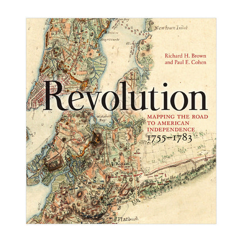
Maps are our windows into how our forebears saw their world. Historians of the Revolutionary War in America have been fortunate in their resources, Few wars in history have such a rich literary and cartographic heritage. The high skills of the surveyors, artists, and engravers who delineated the topography and fields of battle allow us to observe the unfolding of events that ultimately defined the United States.
When warfare erupted between Britain and her colonists in 1775, maps provided graphic news about military matters. The British military employed its best-trained artists and engineers to map the richest prize in its Empire. A number of the best examples are reproduced here, including some from the personal collections of King George III, the Duke of Northumberland, and the Marquis de Lafayette. Other maps from institutional and private collections are being published for the first time. In all, sixty significant and beautiful cartographic works from 1755 to 1783 illustrate this intriguing era in this fascinating and beautiful book.
- By Richard H. Brown and Paul E. Cohen
- 160 pages; illustrated
- Hardcover
The patriot, silversmith, and entrepreneur Paul Revere was forever immortalized in Henry Wadsworth Longfellow’s 1861 poem, “Paul Revere’s Ride,” but his genuine accomplishments are often eclipsed by the legend of the midnight journey. This groundbreaking exhibition (September 6, 2019—January 12, 2020), featuring more than 150 objects, re-examines Revere’s accomplishments.


